File:Helsingfyrd Wiki Map.png
No higher resolution available.
Helsingfyrd_Wiki_Map.png (232 × 409 pixels, file size: 3 KB, MIME type: image/png)
Summary
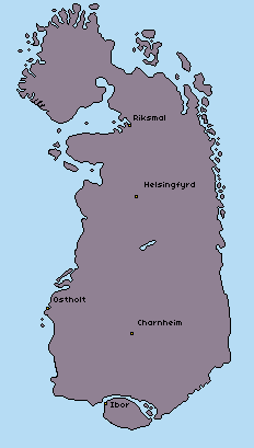
Map of the Helsingfyrd Pact in 1287 PR with major cities marked.
File history
Click on a date/time to view the file as it appeared at that time.
| Date/Time | Thumbnail | Dimensions | User | Comment | |
|---|---|---|---|---|---|
| current | 18:21, 29 June 2025 | | 232 × 409 (3 KB) | Bfox (talk | contribs) | Map of the Helsingfyrd Pact in 1287 PR with major cities marked. |
You cannot overwrite this file.
File usage
The following page uses this file: